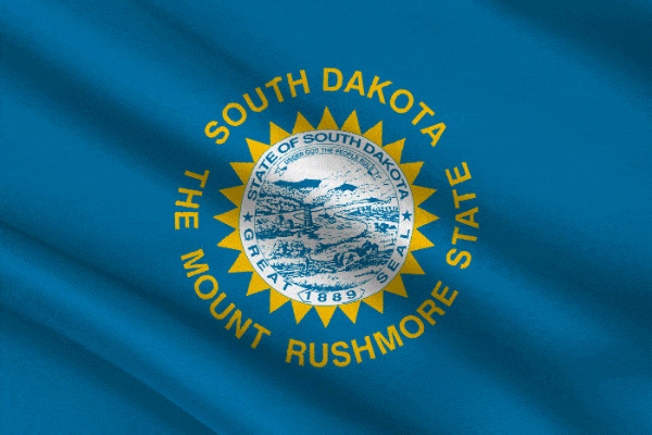
South Dakota
State abbreviation/Postal code: S.D./SD Governor: Dennis Daugaard, R (to Jan. 2019) Lieut. Governor: Matt Michels, R (to Jan. 2019) Senators: John R. Thune, R (to Jan. 2023); Mike Rounds, R (to Jan. 2021) Historical biographies of Congressional members Atty. General: Marty Jackley, R (to Jan. 2019) Secy. of State: Shantel Krebs, R (to Jan. 2019) Treasurer: Rich Sattgast, R (to Jan. 2019) Organized as territory: March 2, 1861 Entered Union (rank): Nov. 2, 1889 (40) Present constitution adopted: 1889 Motto: Under God the people rule
Nicknames: Mount Rushmore State; Coyote State Origin of name: From the Sioux tribe, meaning “allies” 10 largest cities (2010 est.): Sioux Falls, 153,888; Rapid City , 67,956; Aberdeen, 26,091; Brookings, 22,056; Watertown, 21,482; Mitchell, 15.254; Yankton, 14,454; Pierre , 13,646; Huron, 12,592; Vermillion, 10,571 Land area: 78,116 sq mi (199,729 km2)) Geographic center: In Hughes Co., 8 mi. NE of Pierre Number of counties: 66 (64 county governments) Largest county by population and area: Minnehaha, 169,468 (2010); Meade, 3,471 sq mi. State parks: 12 Residents: South Dakotan 2016 resident population est.: 865,454 2010 resident census population (rank): 814,180 (46). Male: 407,381 (50.0%); Female: 406,799 (50.0%). White: 699,392 (85.9%); Black: 10,2047 (1.3%); American Indian: 71,817 (8.8%); Asian: 7,610 (0.9%); Other race: 7,477 (0.9%); Two or more races: 17,283 (2.1%); Hispanic/Latino: 22,119(2.7%). 2010 percent population 18 and over: 75.1; 65 and over: 14.3; Median age: 36.9. |
Exploration of this area began in 1743 when Louis-Joseph and François Verendrye came from France in search of a route to the Pacific.
The U.S. acquired the region as part of the Louisiana Purchase in 1803, and it was explored by Lewis and Clark in 1804–1806. Fort Pierre, the first permanent settlement, was established in 1817.
Settlement of South Dakota did not begin in earnest until the arrival of the railroad in 1873 and the discovery of gold in the Black Hills in 1874.
Agriculture is a cultural and economic mainstay, but it no longer leads the state in employment or share of gross state product. Durable-goods manufacturing and private services have evolved as the drivers of the economy. Tourism is also a booming industry in the state, generating over a billion dollars' worth of economic activity each year.
South Dakota is the second-largest producer of sunflower seed and oil in the nation. South Dakota is also a leading producer of a variety of small grains including oats, barley, rye, flaxseed, sorghum and alfalfa.
The Black Hills are the highest mountains east of the Rockies. Mt. Rushmore, in this group, is famous for the likenesses of Washington, Jefferson, Lincoln, and Theodore Roosevelt, which were carved in granite by Gutzon Borglum. A memorial to Crazy Horse is also being carved in granite near Custer.
Other tourist attractions include the Badlands; the World's Only Corn Palace, in Mitchell; and the city of Deadwood, where Wild Bill Hickok was killed in 1876 and where gambling was recently legalized.
In 2012, the U.S. Department of Agriculture (USDA) released a report that said the number of farms in South Dakota had decreased. However, the size of each farm had increased. There were less than 300 farms in South Dakota in 2012, according to the USDA, but the average farm size increased 13 acres, from 1,395 in 2011 to 1,408 in 2012.
See more on South Dakota:
Encyclopedia: South Dakota
Encyclopedia: Geography
Encyclopedia: Economy
Encyclopedia: Government
Encyclopedia: History
Monthly Temperature Extremes
All U.S. States: Geography & Climate
Printable Outline Maps
Record Highest Temperatures
Record Lowest Temperatures
Highest, Lowest, and Mean Elevations
Land and Water Area
All U.S. States: Population & Economy
Historical Population Statistics, 1790–Present
Per Capita Personal Income
Minimum Wage Rates
State Taxes
Federal Government Expenditure
Percent of People in Poverty
Births and Birth Rates
Homeownership
Percentage of Uninsured by State
All U.S. States: Society & Culture:
Most Livable States
Healthiest States
Most Dangerous States
Smartest States
Crime Index
Residency Requirements for Voting
Compulsory School Attendance Laws
Driving Laws
National Public Radio Stations
Selected famous natives and residents:
- Sparky Anderson baseball manager;
- Gertrude Bonnin (Zitkala-Sa) Sioux writer and pan-Indian activist;
- Tom Brokaw TV newscaster;
- Robert Casey writer;
- Shawn Colvin Singer, songwriter;
- Myron Floren accordionist;
- Joseph J. Foss WW II Marine fighter ace;
- Terry Francona former baseball player, former Boston Red Sox manager;
- Mary Hart TV host;
- Crazy Horse Oglala chief;
- Oscar Howe Sioux artist;
- Hubert H. Humphrey vice president;
- January Jones actor;
- Cheryl Ladd actor;
- Ernest Orlando Lawrence physicist;
- Russell Means American Indian activist;
- George McGovern politician;
- Arthur C. Mellette first governor;
- Dorothy Provine actor;
- Rain-in-the-Face Hunkpapa Sioux chief;
- Red Cloud chief of the Oglala Sioux;
- Ben Reifel Brulé Sioux congressman;
- Ole Edvart Rølvaag writer;
- Sitting Bull chief of Hunkpappa Sioux;
- Norm Van Brocklin football player;
- Mamie Van Doren actor;
- Adam Vinatieri football player.


